
Route 66 came off the federal map in 1985, but the pavement never went anywhere. Sometimes it runs under your wheels, sometimes it sits buried beneath I-40, and sometimes it's a two-lane strip running past a diner that's been frying eggs since long before anyone thought to call it historic. For a driver in a 70-foot rig, that's both the appeal and the problem. The road that made perfect sense for a 1949 Studebaker doesn't always make sense for you. So this guide splits the difference: the stops worth pulling into, the stretches where you keep the interstate under you, and enough local detail to make the run feel like something other than another load.
How to Use This Guide
There is no single authority maintaining Route 66. Each state signs its own alignments, and what's legal for a tractor-trailer changes at every border. The old road through a town square may be fine for a bobtail and a nightmare in a set of doubles.
The workable rule is simple: run the modern parallel for distance and take the old alignment into town where the parking is real. That means I-55 in Illinois, I-44 through Missouri and Oklahoma, I-40 across the Southwest, and I-15 or I-10 as you close on California. Most of the stops worth your time sit within a mile of an interstate exit anyway, so you're rarely giving up much.
If a Route 66 alignment is signed as a historic byway and runs down a town's main street, assume you'll park on the edge of town and walk.
Illinois, Missouri and Kansas: The Eastern Half
Start where the road did. Chicago's old 66 begins near the Loop, which is no place for a truck — stage out of an industrial lot west of the city and run the corridor down through Joliet, Wilmington and Dwight. Pontiac is the first stop worth building time around: the Route 66 Hall of Fame and Museum is small, free in spirit, and sits close to decent parking. From there, I-55 does the heavy lifting to Springfield and on toward St. Louis.
Missouri is the sweet spot of the eastern half. I-44 from St. Louis to Joplin is toll-free, generously served by the big chains, and the old road is never far away. Springfield and Joplin both have large, well-lit lots with showers, scales and sit-down restaurants, and Joplin in particular is a good place to reset before the long push west. Rolla and Sullivan fill the gaps if you're running tight on hours.
Kansas gets thirteen miles of Route 66, which is barely a coffee stop. Baxter Springs is the town, and the parking is tight — a rig will fit, but you'll want to walk it before you commit. If you're heavy and in a hurry, stay on I-44 and wave at the state line.
Oklahoma: Where the Route Gets Serious About Trucks
Oklahoma takes Route 66 more personally than most states, and it shows. Tulsa has the old road threading through town with good food within walking distance of the edge lots. Oklahoma City offers the biggest cluster of travel centers on the whole corridor, west of the metro along I-40, with everything from full-service shops to overnight parking you can actually count on.
West of the city, the towns get smaller and better. Clinton holds the Oklahoma Route 66 Museum. Elk City has the National Route 66 Museum. Erick is Roger Miller's hometown and still has a café worth the stop. Sayre is a reliable fuel-and-shower break before you cross into Texas.
One note: the Turner and Will Rogers turnpikes are toll roads. Keep cash or a transponder handy, and don't assume the old alignment is a shortcut — it runs you through towns at 30 mph, which is charming until you're behind on your clock.
The Texas Panhandle and New Mexico
Shamrock's U-Drop Inn is the photo everyone takes, and the lot across the road will take a truck. Amarillo is the practical stop: fuel, food, showers and a real steakhouse culture if you've got the time. Parking at the famous tourist spots around Amarillo is tight in summer, so plan on the travel centers and drive over empty if you want the pictures.
Adrian marks the midpoint of the original route, and Vega and Glenrio finish the state.
Russell's at Glenrio
Right on the New Mexico line, Russell's Travel Center is the independent stop that big-chain drivers keep coming back to. Large lot, real food, showers, and a scale of operation built for trucks rather than tourists. If you're running the I-40 corridor and want one stop where you can eat properly and sleep without listening to a reefer all night, this is it.
Tucumcari and Santa Rosa
Tucumcari is the postcard town — neon motels, the Blue Swallow, curio shops — and the truck parking sits at the interstate exits on both sides of town. The old road through the middle is drivable in a rig with care, but it's narrow and busy with tourists. Santa Rosa is quieter, with a good museum and the Blue Hole, a natural spring that divers travel for.
Albuquerque and West
Central Avenue through Albuquerque is not a truck route. Lanes are tight, parking enforcement is real, and there's nothing on that stretch you can't see from a lot on the west side. Fuel up around the Coors and Rio Puerco exits, then push on. Grants and Gallup both have solid options, and Gallup's old road is wide enough to handle a rig if you want the meal rather than the fast-food counter.
Arizona and California
Holbrook, Winslow and Williams all reward a stop, and Flagstaff sits close to 7,000 feet, which means snow, chain laws and closures from late fall through early spring. Downtown Flagstaff is a no for big trucks; use the I-40 exits and walk in.
Between Kingman and Barstow you have a decision. The old route over the Black Mountains through Oatman is spectacular and completely unsuitable for trucks — hairpins, no shoulders, no room to turn around. Take I-40. The National Trails Highway stretch through Amboy is rough pavement with long empty miles and unreliable fuel, so top off in Needles and don't gamble.
Barstow is the last big stop before the climb. Cajon Pass brings long grades and brake checks, and once you're into the LA basin, forget the historic alignments through Pasadena and San Bernardino. Park outside the metro, and if you want to stand at the Santa Monica Pier end of the road, do it in a car.
Choosing Your Overnight Stop: A Driver's Checklist
- Verify the legal route first. Old alignments in town often have weight restrictions, tight turns or low clearance.
- Look before you commit. Pull in, check your exit path, and note where the reefers will idle.
- Shower early. Mid-afternoon beats 8 to 10 p.m., when the board fills and the line doesn't move.
- Watch state fuel pricing. It swings hard across the corridor, and the desert stretch between Needles and Barstow is no place to run low.
- Ask the counter staff which local café is worth the walk. They know, and it's usually not the one with the billboard.
- Call ahead on event weekends. Balloon Fiesta in Albuquerque, Grand Canyon season in Williams, and summer festivals in the small towns all fill lots early.
Before You Roll
Route 66 rewards drivers who treat it as a series of short detours rather than a single road. Pick two or three towns per trip, plan your parking before you arrive, and keep the interstate as your safety net when the clock is against you.
Carry more water than you think you need through the Southwest, keep a paper map for the stretches where the old road and the interstate part company, and check weather before Flagstaff in winter and before the Mojave any time of year. For anything touching your hours, your insurance or your equipment, talk to your carrier or a qualified professional — this guide is about where to eat and sleep, not how to run your business.
Get the stops right and the miles take care of themselves. That's the whole point of the old road.
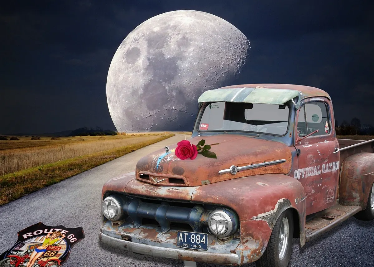
Photo: spirit111 / Pixabay